Tag Archives: Vacation

OBX 4 – Currituck Lighthouse

Our last stop in the Outer Banks was to the Currituck Lighthouse.  We drove through Duck, NC into Corolla Village.

IMG_0155

This red-brick lighthouse towers above the northern Outer Banks landscape and visitors can climb the winding staircase, 214 steps in all, to the top of the lighthouse for a panoramic view of Currituck Sound, the Atlantic Ocean and the Currituck Outer Banks.

IMG_0156

The Currituck Beach Lighthouse is known as a first order lighthouse, which means it has the largest of seven Fresnel lens sizes. With a 20-second flash cycle (on for 3 seconds, off for 17 seconds), the light can be seen for 18 nautical miles. The distinctive sequence enables the lighthouse not only to warn mariners but also to help identify their locations. Like the other lighthouses on North Carolina’s Outer Banks, this one still serves as an aid to navigation. The beacon comes on automatically every evening at dusk and ceases at dawn.

IMG_0163 IMG_0158 IMG_0157

To distinguish the Currituck Beach Lighthouse from other regional lighthouses, its exterior was left unpainted and gives today’s visitor a sense of the multitude of bricks used to form the structure. The Currituck Beach Lighthouse was the last major brick lighthouse built on the Outer Banks.

IMG_0162 IMG_0159 IMG_0160 IMG_0161

Lighthouse Facts

Number of steps: 214

Height to focal plane of lens: 158 feet

Height to top of roof: 162 feet

Number of bricks: approximately one million

Thickness of wall at base: 5 feet 8 inches

Thickness of wall at parapet: 3 feet

Position: 34 miles south of the Cape Henry Lighthouse (VA), 32 1/2 miles north-northwest of Bodie Island Lighthouse Coast Survey

Chart: 36° 22’36″ N latitude, 75° 49’51″ W longitude.

1 Comment

Filed under North Carolina, Vacations

OBX 3 – Wright Bros Memorial

IMG_0145After we left the Cape Hatteras Lighthouse we drove north into Nag’s Head.  Since Mr. Dan is a pilot and talks about flying his planes to the boys and Pixar is releasing a movie called Airplanes this summer, I thought that it would be fun for the boys to learn a little about the first flight ever taken.

IMG_0146

A 60-foot (18 m) granite monument, dedicated in 1932, is perched atop 90-foot-tall (27 m) Kill Devil Hill, commemorating the achievement of the Wright brothers. They conducted many of their glider tests on the massive shifting dune that was later stabilized to form Kill Devil Hill. Inscribed in capital letters along the base of the memorial tower is the phrase “In commemoration of the conquest of the air by the brothers Wilbur and Orville Wright conceived by genius achieved by dauntless resolution and unconquerable faith.” Atop the tower is a marine beacon, similar to one found in a lighthouse.

IMG_0148

IMG_0147

IMG_0150

IMG_0152

IMG_0151

IMG_0153

IMG_0154

Leave a comment

Filed under National Parks and Monuments, North Carolina, Vacations

OBX 2 – Cape Hatteras Lighthouse

IMG_0135Rise and Shine!  The sun is out and the weather couldn’t be more beautiful.  Today we continue our exploration of the Outer Banks.  The lighthouse wasn’t open just yet so we checked out of the motel and headed south to the town of Hatteras.  It’s the furthest point you can drive, from here you take a ferry over to Ocracoke.  There is a lighthouse here and I was sad that we were going to miss it.  The boys and I stopped at a café, grabbed a few lattes, a smoothie, a few breakfast pastries and headed back to visit the Cape Hatteras Lighthouse.

IMG_0123

IMG_0124

IMG_0128

IMG_0129

IMG_0130

IMG_0131

IMG_0132

Here’s a little more history about the lighthouses from the OBX.  The Cape Hatteras Lighthouse protects one of the most hazardous sections of the Atlantic Coast. Offshore of Cape Hatteras, the Gulf Stream collides with the Virginia Drift, a branch of the Labrador Current from Canada. This current forces southbound ships into a dangerous twelve-mile long sandbar called Diamond Shoals. Hundreds and possibly thousands of shipwrecks in this area have given it the reputation as the “Graveyard of the Atlantic”.   The lighthouse is 210 foot height makes it the tallest brick lighthouse structure in the United States and 29th in the world.  The National Park Service acquired ownership of the lighthouse when it was abandoned in 1935. In 1950, when the structure was again found safe for use, new lighting equipment was installed. Now the Coast Guard owns and operates the navigational equipment, while the National Park Service maintains the tower as a historic structure.  1,250,000 bricks were used in construction of the lighthouse and it is 248 steps to the top.

IMG_0133

IMG_0134

IMG_2405

IMG_0136

IMG_0138

IMG_0137

IMG_0140

IMG_0141

IMG_2408

In 1999, the Cape Hatteras lighthouse had to be moved from its original location at the edge of the ocean to safer ground 2,870 feet (870 m) inland. Due to erosion of the shore, the lighthouse was just 120 feet from the ocean’s edge and was in imminent danger.  The Cape Hatteras Light House Station Relocation Project became known as “The Move of the Millennium.”  It is the tallest masonry structure ever moved (200 feet tall and weighing 5,000 tons).  The boys and I walked out to the original location, it was very close to the water and the Park Ranger told us that the lighthouse would not have survived Hurricane Sandy.

IMG_0142 IMG_0143 IMG_2409

Leave a comment

Filed under Beach, National Parks and Monuments, North Carolina, Vacations

OBX 1 – Bodie Lighthouse

IMG_0109After we left South Carolina, the boys and I headed eight hours north and east over to the Outer Banks.  This is one place that I always wanted to go see and since the boys and I are on a lighthouse mission, this just seemed like the best next stop.  By the time we arrived it was later in the afternoon and the sky was overcast and windy.  This first lighthouse that we came to was the Bodie Lighthouse.  This current lighthouse is the third that has stood in this vicinity of Bodie Island on the Outer Banks in North Carolina and was built in 1872. It stands 156 feet (48 m) tall and is located on the Roanoke Sound side of the first island that is part of the Cape Hatteras National Seashore. While some people (including North Carolinians not from the Outer Banks) pronounce the name with a long “o” sound, it is traditionally pronounced as body. This is derived from the original name of the area, which was “Bodies Island”, after the Body family from whom the land was purchased. Folklore would have you believe it is due to the number of dead sailors washed ashore from this portion of the Atlantic Ocean, which is known as the Graveyard of the Atlantic.  An impressive array of ships have been sunk due to storms, shoals, and German U-boats in World War II.

IMG_0104

IMG_0106

IMG_0111

IMG_0107

Our next stop was the Cape Hatteras Lighthouse.  This lighthouse is right next to our motel, so we thought we would swing by and check it out.  Due to lightening in the area we were not allowed up into the lighthouse, so we wandered down to the beach and the boys ran off some of their energy from the long car ride.

IMG_0112 IMG_0113 IMG_0114 IMG_0115 IMG_0116 IMG_0117 IMG_0118 IMG_0119 IMG_0120

We checked into the motel, the boys went for a swim, we grabbed a pizza for dinner at a local arcade, and called it a day.

IMG_0122 IMG_0121

Leave a comment

Filed under Beach, North Carolina, Vacations

Charles Pinckney, Charleston Market, Ghost Tour

After leaving Fort Sumter, we decided to drive over to see Charles Pinckney’s house to get a stamp for our Passport book.  Only 28 acres of Charles Pinckey’s 715-acre Snee Farm plantation remains undeveloped. The Friends of Historic Snee Farm, Inc. saved the property from developers and donated it to the National Park Service. Charles Pinckney National Historic Site, SC.

IMG_0082

IMG_0079 IMG_0074

IMG_0086 IMG_0085

IMG_0088 IMG_0087

Charles Pinckney was a member of an important low country family.  He began his government career at the young age of 22 and retired at 64.  Pinckney is considered one of our country’s Founding Fathers.  Some of his accomplishments include:  Militia officer during the Revolutionary War, Representative to State and National Legislators, Four-term government to South Carolina, Author of parts of the U.S. Constitution, Ambassador to Spain for 5 years.

Another thing that we learned about was the Gullah culture.  The Gullah are a distinctive group of Black Americans from South Carolina and Georgia in the southeastern United States.  There are roughly a half a million still living in small farming and fishing communities along the Atlantic coastal plain and on the chain of Sea Islands which runs parallel to the coast. Because of their geographical isolation and strong community life, the Gullah have been able to preserve more of their African cultural heritage than any other group of Black Americans. They speak a creole language similar to Sierra Leone Krio, use African names, tell African folktales, make African-style handicrafts such as baskets and carved walking sticks, and enjoy a rich cuisine based primarily on rice.

IMG_0075

During the 1700s the American colonists in South Carolina and Georgia discovered that rice would grow well in the moist, semitropical country bordering their coastline. But the American colonists had no experience with the cultivation of rice, and they needed African slaves who knew how to plant, harvest, and process this difficult crop. The white plantation owners purchased slaves from various parts of Africa, but they greatly preferred slaves from what they called the “Rice Coast” or “Windward Coast” West Africa. The plantation owners were willing to pay higher prices for slaves from this area, and Africans from the Rice Coast were almost certainly the largest group of slaves imported into South Carolina and Georgia during the 18th century.

For the rest of the day we headed over to downtown Charleston, the French Quarter, and the Battery.  We parked off of Meeting and just wandered through the streets looking at all different kinds of shops and the outdoor market.

IMG_0090 IMG_0092 IMG_0094 IMG_0095

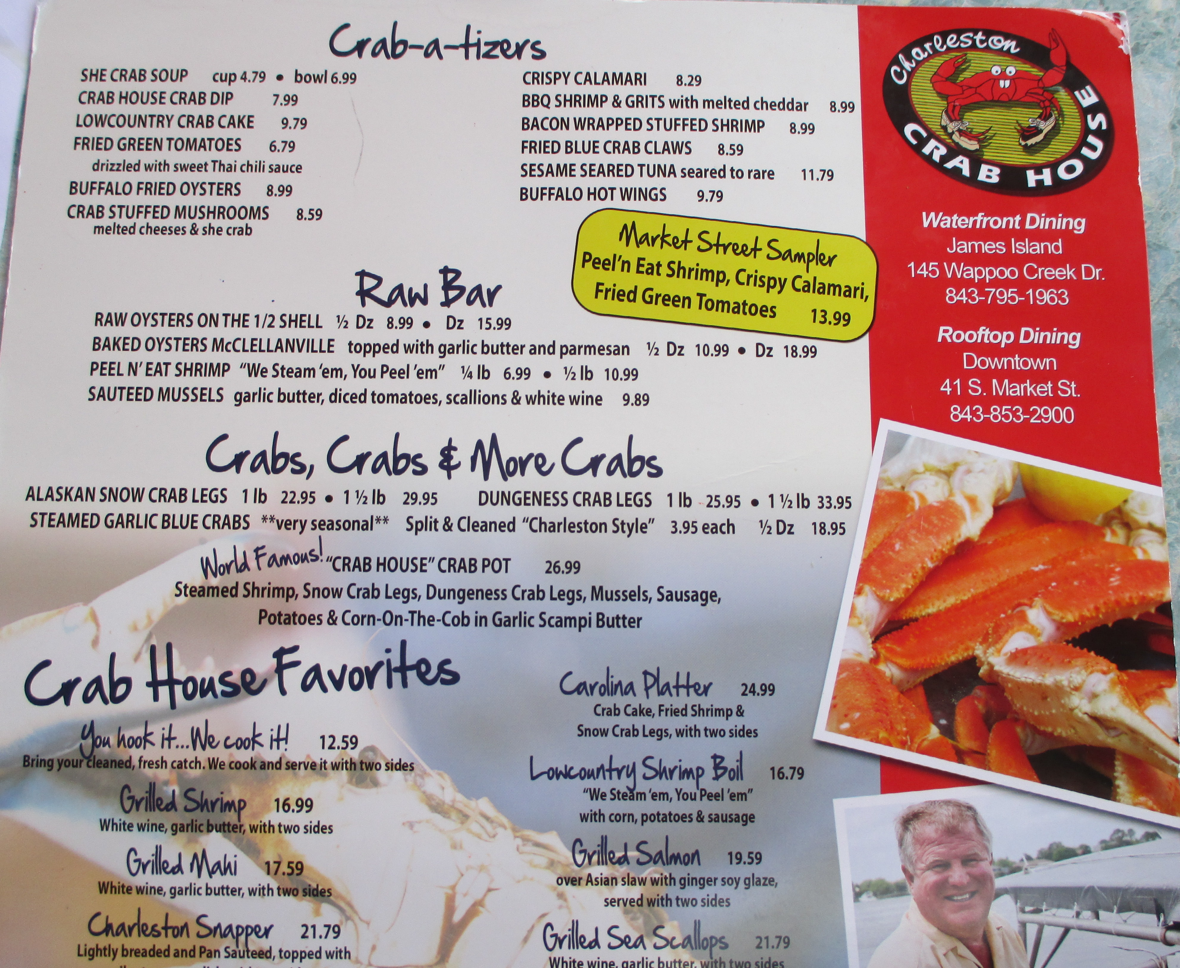
For dinner we ate at Henry’s across from the market and no trip to Charleston is complete without an order of shrimp and grits.  Davy loved the shrimp and grits and this is when he declares to me that he just loves trying new foods.  He picked up a puzzle box and we stopped for some ice cream before going on our carriage ride.

IMG_0099

IMG_0098

IMG_0097

IMG_0101

IMG_0102

IMG_0103

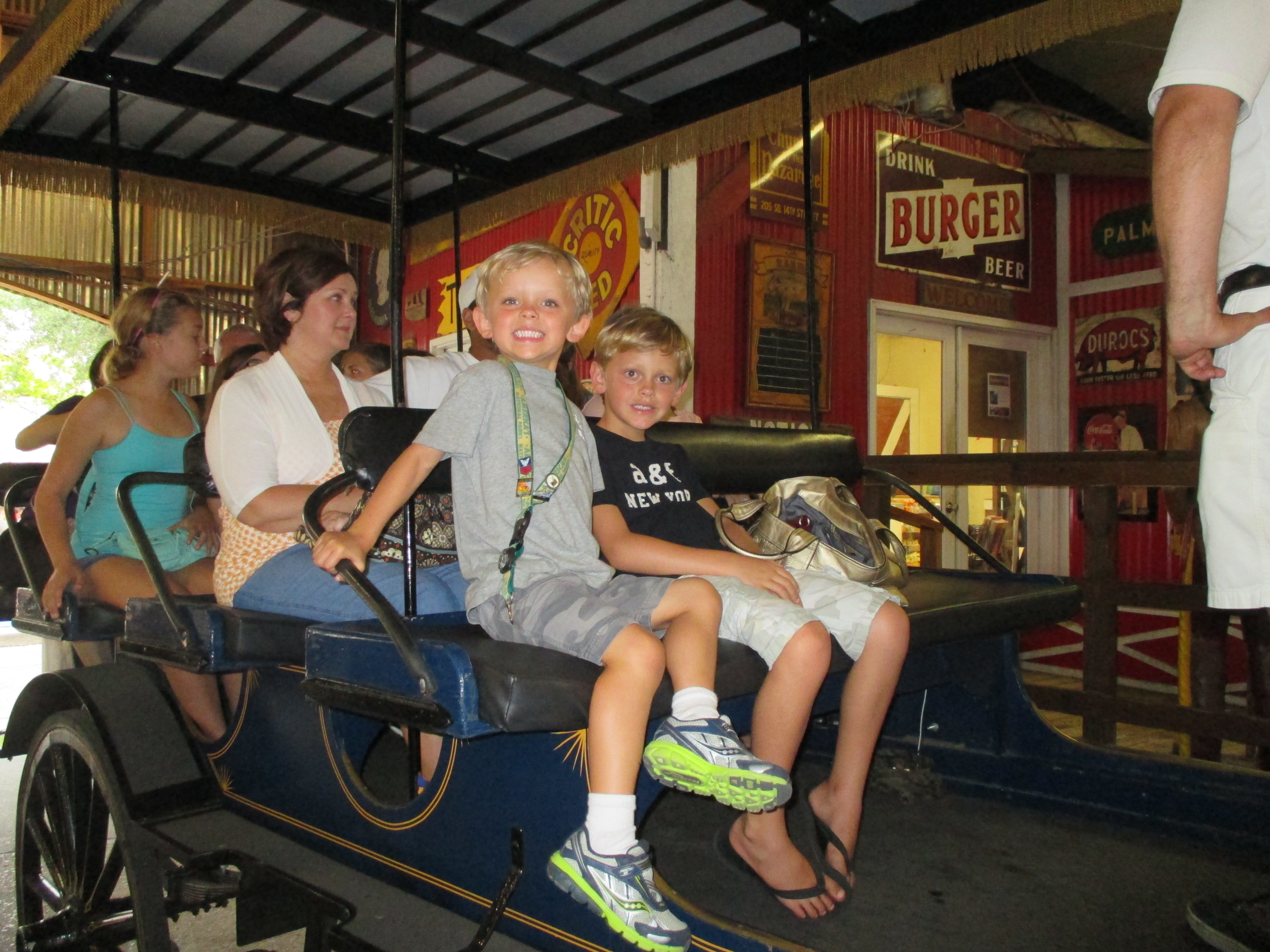
Our carriage ride was a ghost tour and here is one of Davy’s favorite stories from the ride.

Philadelphia alley (AKA “Dueler’s Alley).  Tucked away just off Market Street, running between Cumberland and Queen Streets in the beautiful French Quarter, lies Philadelphia Alley, ca. 1766.  This alley has a high brick wall running down both sides meaning there would be less bystander casualties, so it is believed that this is the reason it was chosen for the dueling.  Dr. Ladd and Ralph Isaacs were friends, and after several disputes including one over a woman and then an article printed in the paper Dr. Lad fearing he would be labeled cowardly and that his reputation would suffer challenged Ralph Isaacs to a duel. If not for himself, then he must defend the honor of Perdita, the young doctor reasoned. Steeling his resolve, he whistled on his way to meet his rival with pistols at dawn.

SAM_2262

They pair of duelists met in the misty morning light of Philadelphia Alley. Intending on letting the challenge blow over, Dr. Ladd fired his pistol into the air, a way to save face. Ralph Isaacs meant to fire into Dr. Ladd’s leg, intending only on a slight wound to embarrass the doctor, but the pistol ball fired erratically and struck Dr. Ladd in the stomach. The physician was taken by gurney to his boarding house on Church Street. He died of the wound ten days later.

It is said that Philadelphia Alley still carries the sounds of pistol shots, the smell of gunsmoke, and the eloquent trill of Dr. Joseph Ladd’s whistling on his way into the alleyway that fateful morning. Ghostly visions of ladies in gowns appear on photographs, as do shadows and violet fire. Some experience time loops. Considered to be the most haunted lane in Charleston, there are rumors of over thirty recorded deaths.

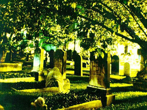
Davy also liked the story of Blackbeard’s 30 men being hung in the battery and left for 6 weeks to warn off any who were thinking about piracy and the story of the man who took a photo on film of St. Philip’s cemetery in 1987 and after having developed his pictures discovered this ghost of a woman grieving over her stillborn child’s grave.

ghost_2

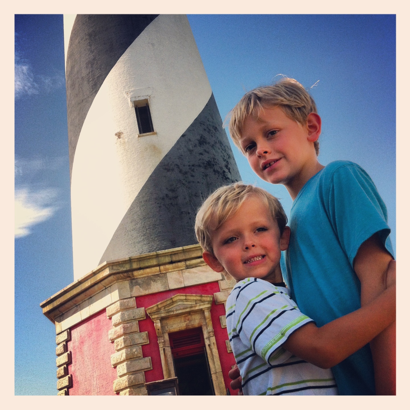
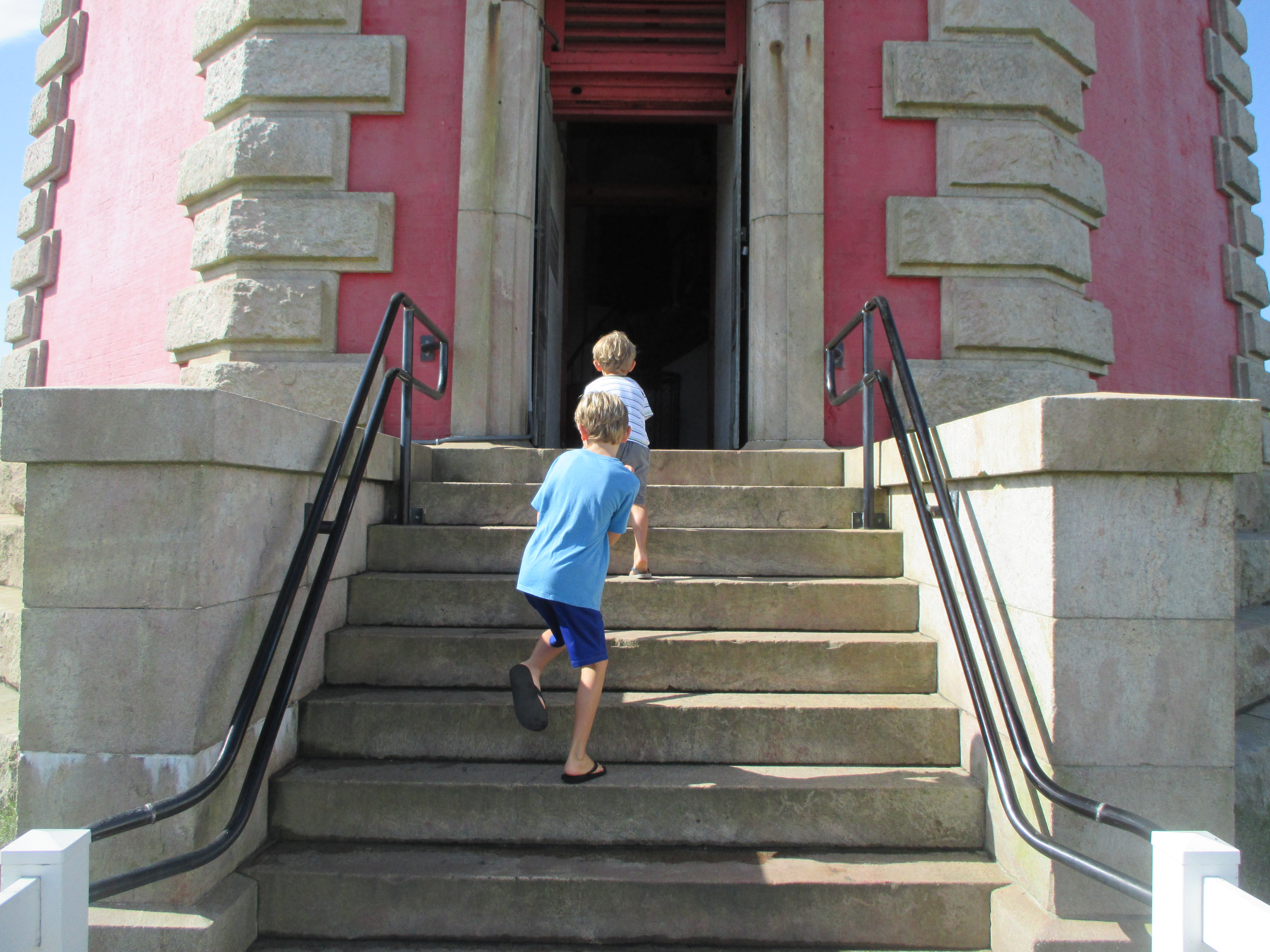
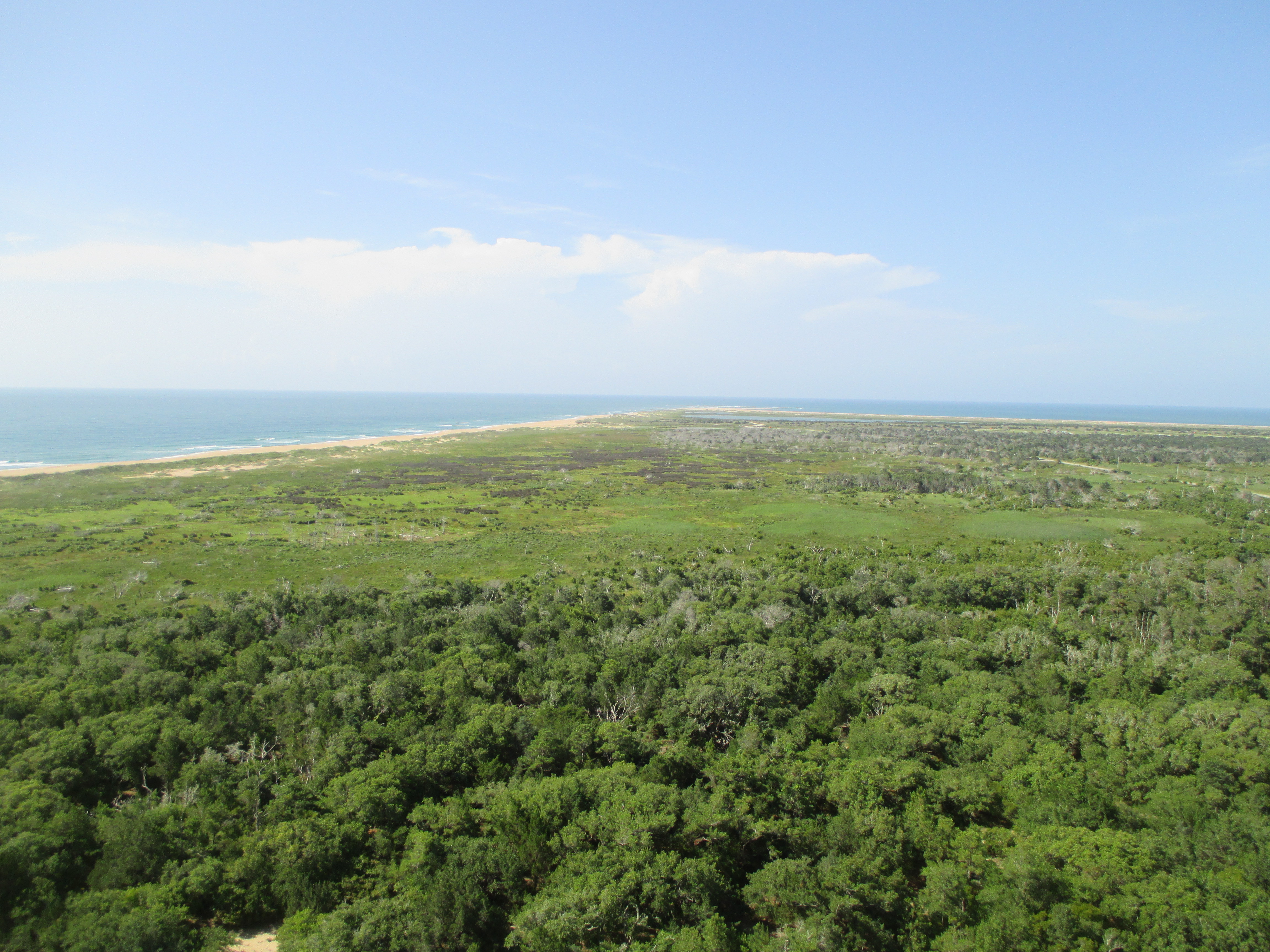
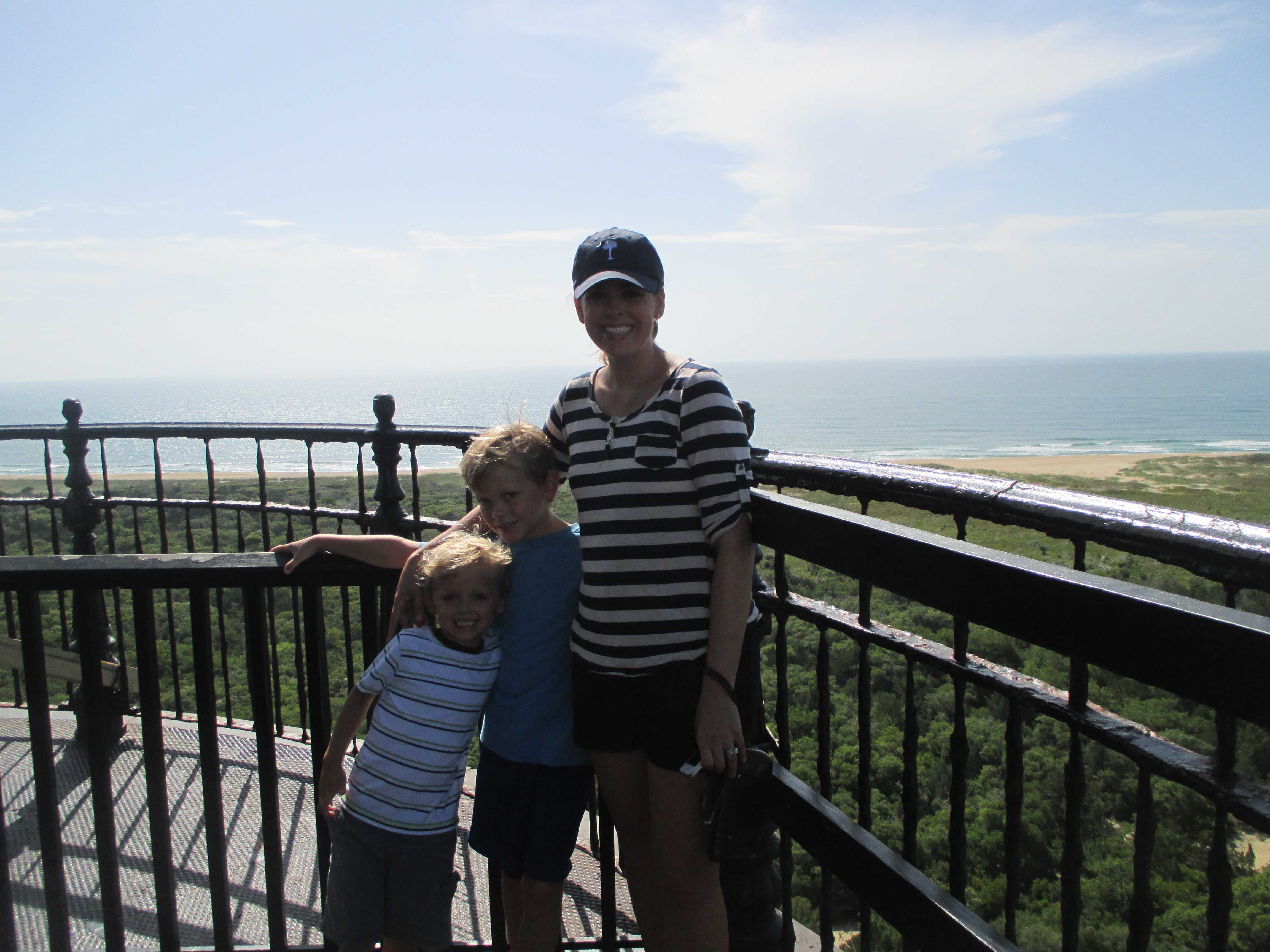
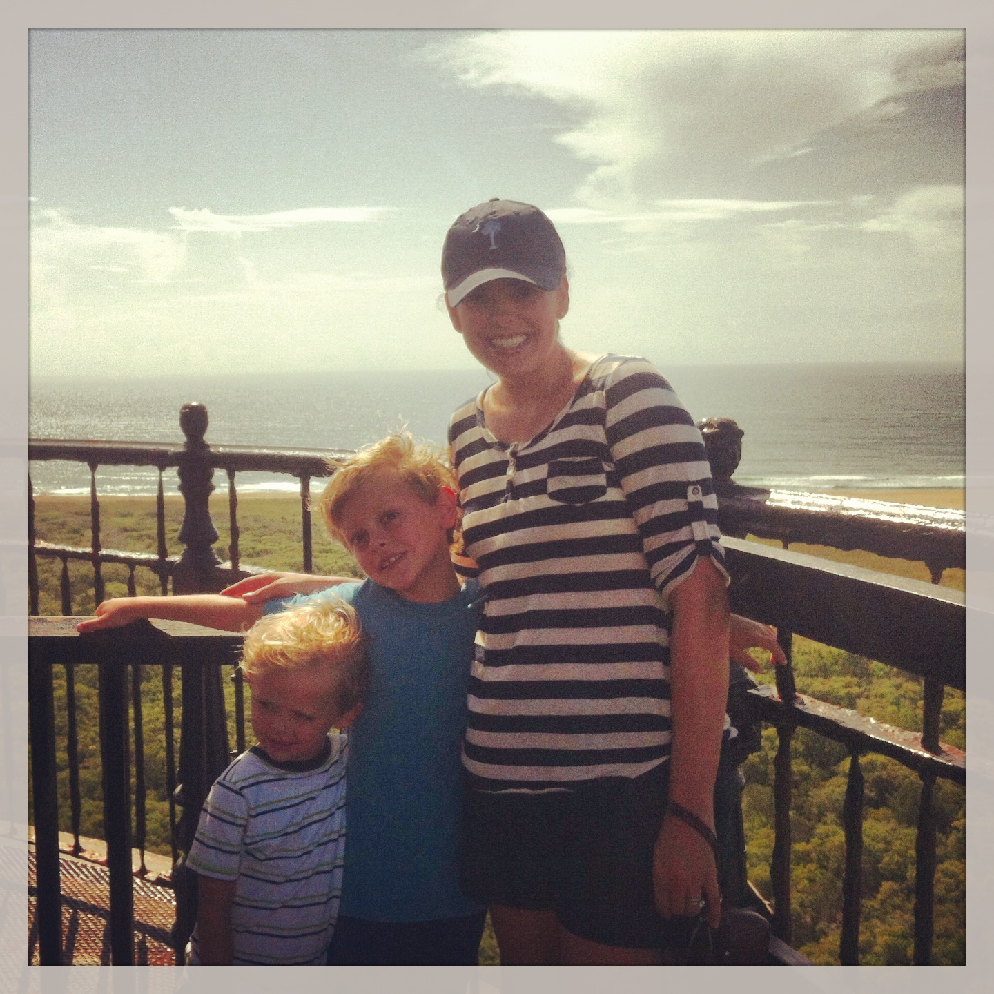
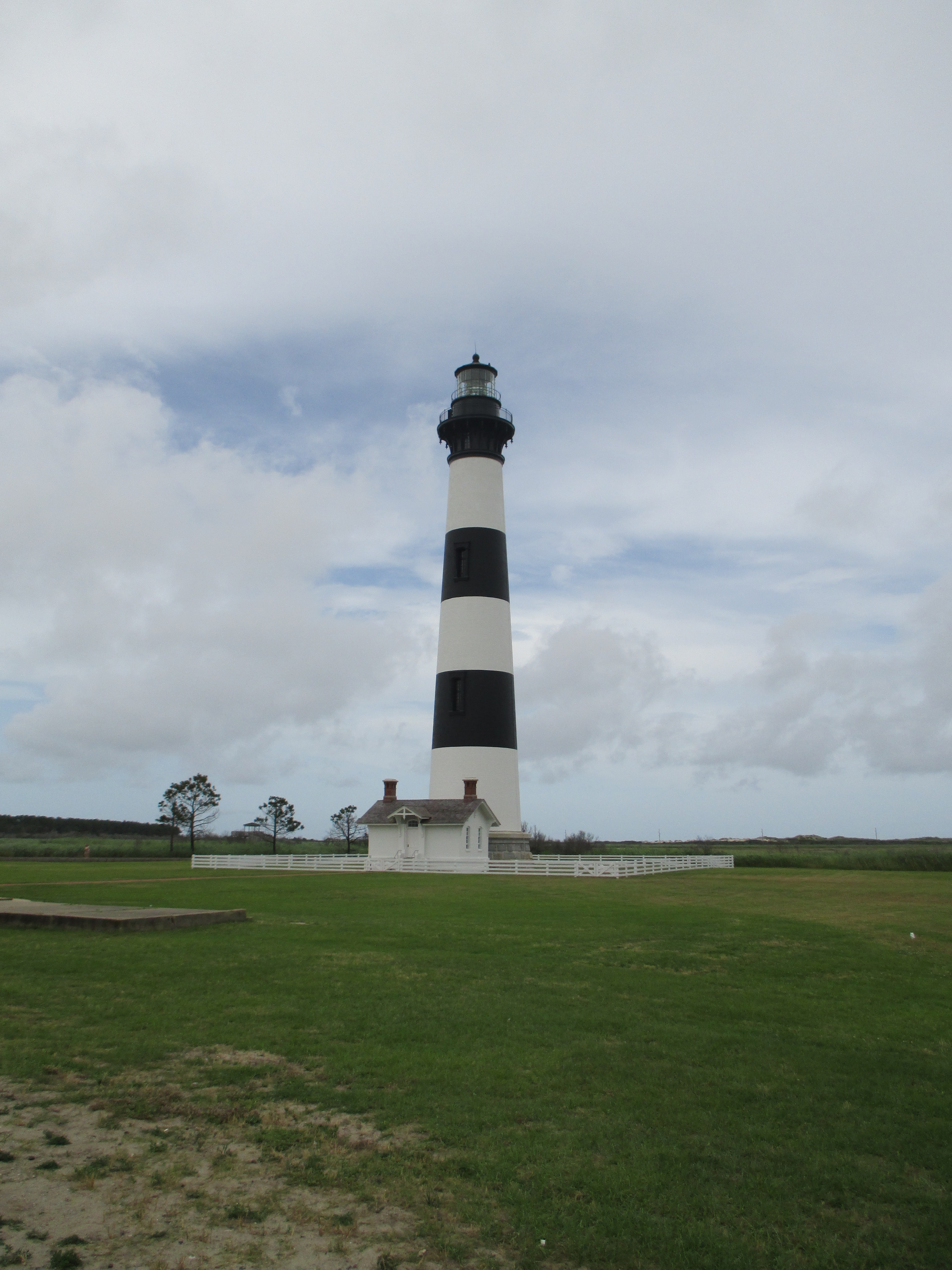
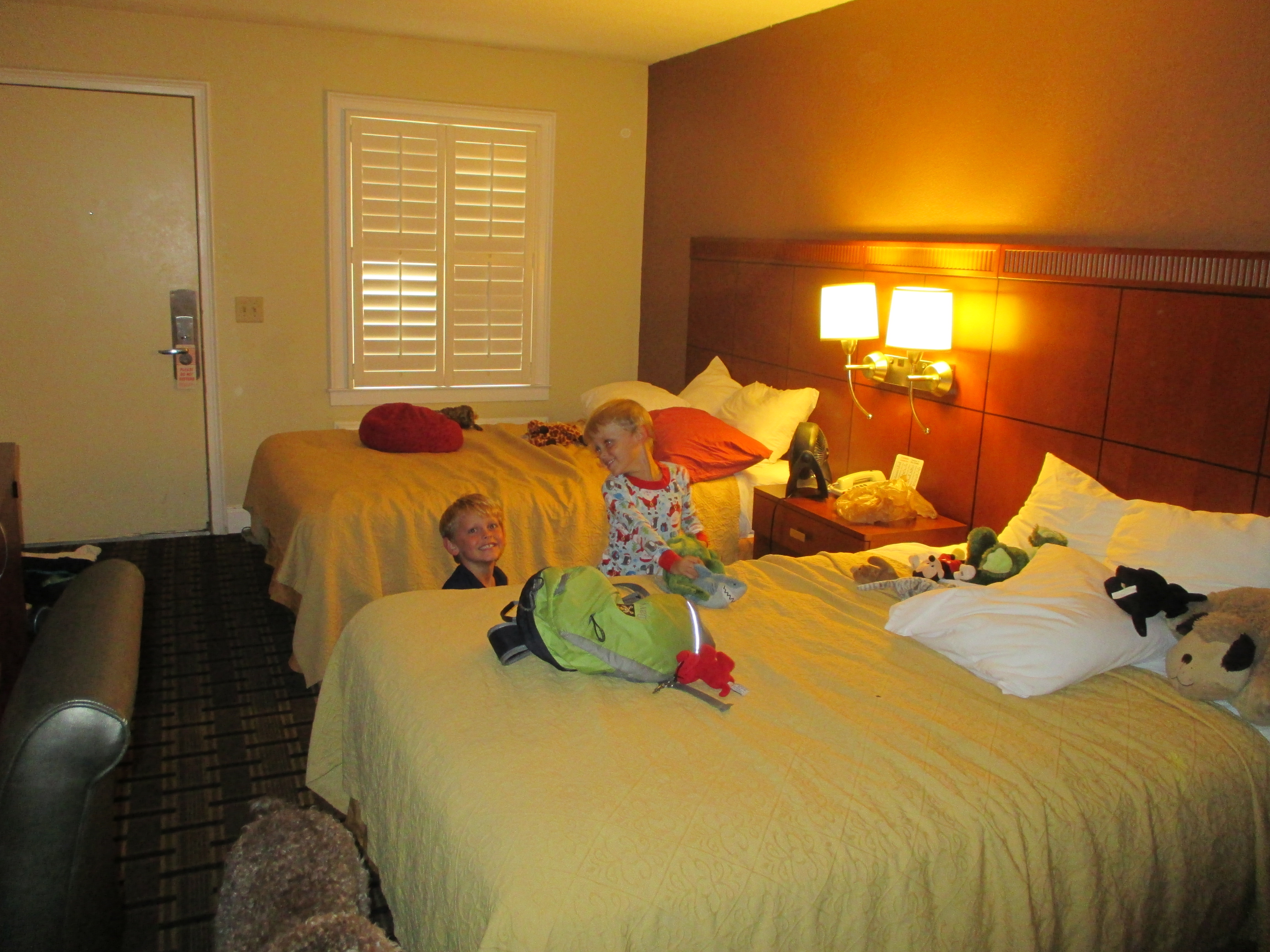
Last night here….off to North Carolina next!

IMG_0037

1 Comment

Filed under National Parks and Monuments, Vacations

Fort Sumter and the USS Yorktown

The skies were a little cloudy this morning and The Weather Channel predicted a 40% chance of rain, so the boys and I decided to shift our activities for the day around and head on over to Patriots Point first.  Everyone knows that Davy loves the Civil War, so there is no way that we could come to Charleston and not go to Fort Sumter.  After decades of growing strife between the North and the South, on April 12, 1861, the Civil War officially began when Confederate artillery opened fire on this Federal fort in Charleston Harbor. Fort Sumter surrendered 34 hours later. Union forces would try for nearly four years to take it back.  We bought our tickets and boarded onto the ferry that took us out to visit the Fort.

IMG_0039

IMG_0040

IMG_0043

IMG_0044

Once we reached the Fort, we were given one hour to look around.  One of the things that we learned was, Fort Sumter National Monument has one of the best collections of 19th century seacoast artillery anywhere in the United States. Davy loves cannons so you can only imagine how excited he was to see all of these.

IMG_0046 IMG_0048 IMG_0050 IMG_0051 IMG_0052 IMG_0053 IMG_0055 IMG_0058 IMG_0059 IMG_0062 IMG_0063

The USS Yorktown (CV-10) was the tenth aircraft carrier to serve in the United States Navy.  Under construction as Bon Homme Richard, this new Essex-class carrier was renamed Yorktown in honor of Yorktown (CV-5), sunk at the epic Battle of Midway (June 1942). Built in an amazing 16-½ months at Newport News, Virginia, Yorktown was commissioned on April 15, 1943, and participated significantly in the Pacific Offensive that began in late 1943 and ended with the defeat of Japan in 1945. Yorktown received the Presidential Unit Citation, and earned 11 battle stars for service in World War II.

IMG_0065 IMG_0066 IMG_0067 IMG_0068 IMG_0070 IMG_0071 IMG_0072 IMG_0073

I found the ship to be very moving.  From the Congressional Medal of Honor museum to all of the pictures that adorned the walls.  Looking around at the photos, I officially felt old.  The one thought that kept coming back to me from looking at the mannequins and the photos was that the boys fighting and serving all looked so young :(…  When did that happen??!!!  I guess I am almost 20 years older than most of them…. sigh….  Last thought, after following my boys all around the ship and up and down the stairs, there is no way Andy could have served in the Navy.  The ceilings were so low that there were times I even had to duck!

Leave a comment

Filed under National Parks and Monuments, Vacations

And We Are Off….To Folly Beach

IMG_0015The day has finally arrived!!!  The car is packed, the kids and Molly are in, and at 8:45 we pulled out of the driveway.  Today is the first day of our 2013 summer vacation and I can’t wait for all of our fun adventures over the next 7 weeks!

Originally, we had planned on starting this trip in North Carolina visiting with Aunt Barbara, but after her plans changed I gave Davy the option of still going to the mountains or heading somewhere new, and he chose somewhere new.  So, to break up the long distance of this trip I decided that our first stop would be to take the boys to Charleston, SC.

IMG_0016

IMG_0017

I found a little Inn on a creek 5 miles outside of Charleston, the price was cheap and the dog was welcome, so that’s where we are staying.

IMG_0018

For dinner I thought that it would be fun to eat on the water.  There are so many great places to eat here, but this one was close and right off of Folly Rd, so we stopped at  The Crab House….Yum!  Davy is now officially a fan of crab legs, although he says that I have to crack the legs for him… Crazy kid! 🙂

IMG_0021

IMG_0022

IMG_0023

IMG_0025 IMG_0024

Next stop, Folly beach.  Davy and I decided earlier in the week that since we were going to be driving up and down the East Coast, that we would be on the look out for lighthouses.  Folly has one on the northeast end of the beach called Morris Island Lighthouse.  This lighthouse is registered as one of the Nation’s most historic sites.  The first ray of light was cast on October 1, 1876 and it is the third lighthouse to occupy this site.  This lighthouse was South Carolina’s only first order lighthouse and is now their most beloved symbol of their maritime past.  After 7.5 hours in the car, a trip to the beach to see the lighthouse was the perfect ending to our first day.

IMG_0025a IMG_0025b IMG_0025c IMG_0026 IMG_0027 IMG_0028 IMG_0029 IMG_0030 IMG_0031 IMG_0033 IMG_0034 IMG_0035 IMG_0036

Leave a comment

Filed under Beach, Vacations

Burts Pumpkin Patch 2012

On our way home we decided to make a detour to Ellijay, Ga.  We were so close to the best pumpkin patch ever, that driving for a little bit longer really didn’t bother us too much.  Burt’s Pumpkin Patch is wonderful for families and the prices are so good.  We went on a two-mile hay ride, picked out several pumpkins to take home, and drank apple cider.  The boys had a great time.


Leave a comment

Filed under Fun Outings, Georgia, Vacations

Boating and Tubing on the Intercoastal

Sometimes there just aren’t enough words to be able to fully express the love and gratitude that one has for beautiful friends…

As I am currently unable to do much of anything, Kelly and Brian decided that they were not going to let this situation get everyone down.  Today, they packed up all the kids and took them out for a boat ride and lunch at Rotten Ralph’s .  They said that the weather was beautiful, the morning water was calm, and they even saw dolphins.  The boys had a wonderful time tubing and driving the boat.  We heard that Davy made the 25 mile an hour club and rode on the tube 5 or 6 times.  Love my brave boy. 

Thanks again Brian and Kelly… 🙂

Leave a comment

Filed under Anna Maria Vacation 2012, Carothers Family, Fun Outings, Vacations

Before Breakfast Beach Walk

The Weather Channel predicted that the percentage of rain today was going to be 70%, so when we woke up and saw the sun shining in through the bedroom windows we took advantage of the good weather and headed for the beach.  Forget the breakfast and forget the coffee…throw on those bathing suits and let’s go!!!  They would need to get their wiggles out at some point, so we figured now was as good as time as any to start.  We parked at the Rod n Reel pier and took the walkway over to Bean Point. 

Yesterday, this couple went walking by us with their hands loaded down with big shells, so we asked them where they found them and they said further down the beach where the currents hit the shore.  We were certain that we were going to find the most beautiful shells, and of course we didn’t find one.  We walked from one side of the island to the other…and nothing.

We had a wonderful morning and left the beach thoroughly exhausted… By the time we got back to the house the kids were ready for breakfast, and we were ready for coffee!

Leave a comment

Filed under Anna Maria Vacation 2012, Beach, Carothers Family, Vacations